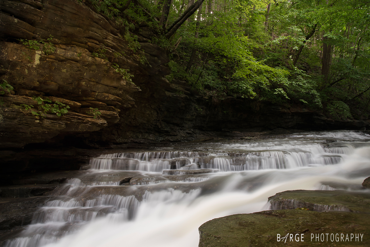
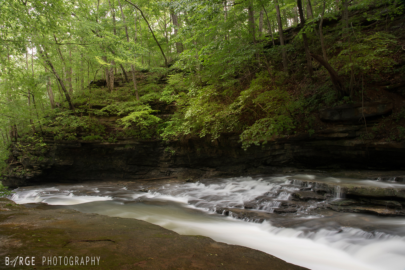
From my recent getaway to capture more Kentucky waterfalls. This was my first GPS location waterfall hike that I’ve done and I loved it! There are no signs or trails leading to this falls. Thanks to Christopher Morris for all his hard work in creating a Kentucky waterfall database for all to enjoy Info click here
I plan on doing many more in the coming months and years. Still working on my Ohio waterfall book, but maybe a Kentucky book in the future!
To order a high quality photograph or view more Kentucky waterfalls, visit my online ordering site: CLICK HERE
Pond Branch Falls – Daniel Boone National Forest – Laurel County, KY | GSP coordinates: 37°01’24.3″N 84°15’41.2″W
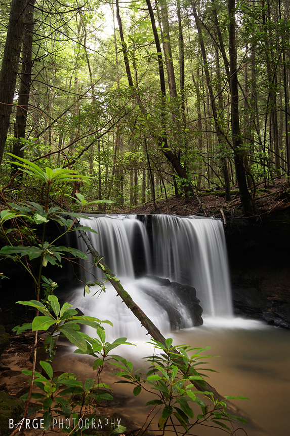
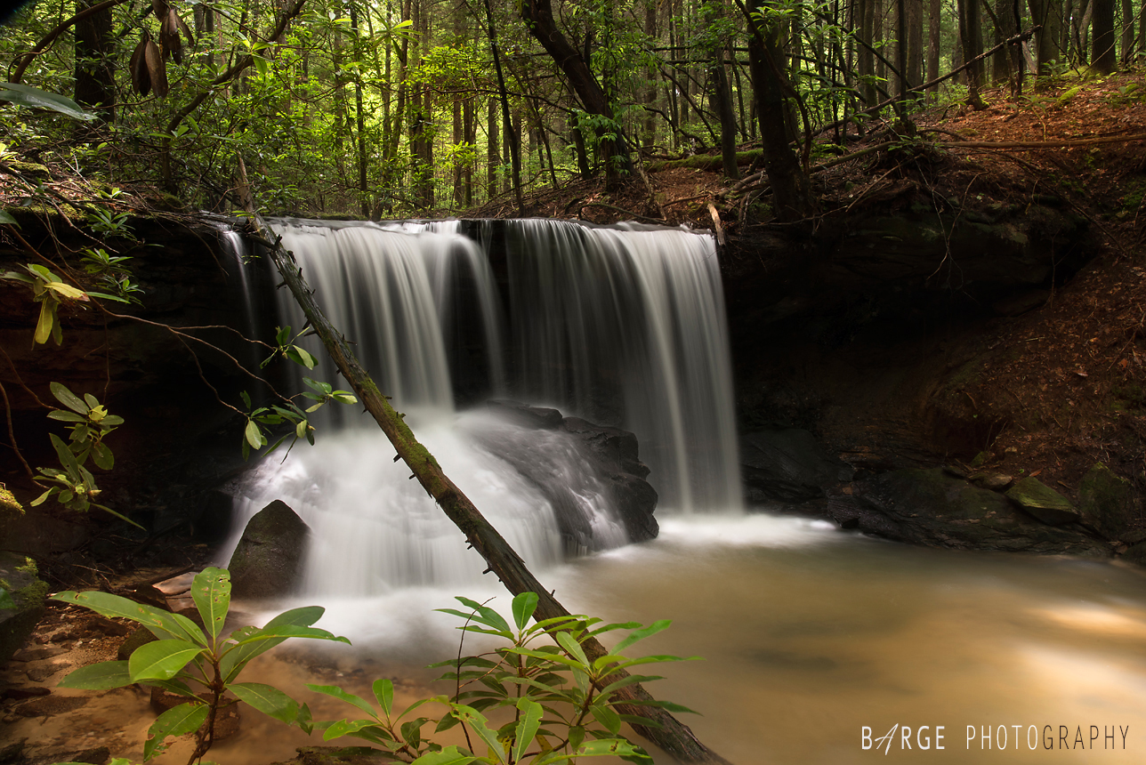 Mill Springs Falls – Monticello, KY
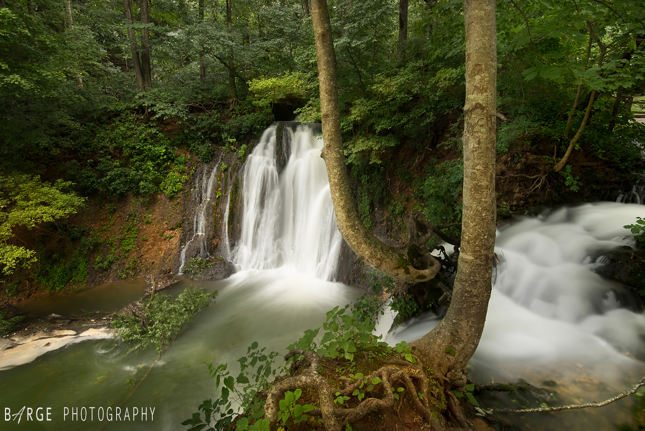
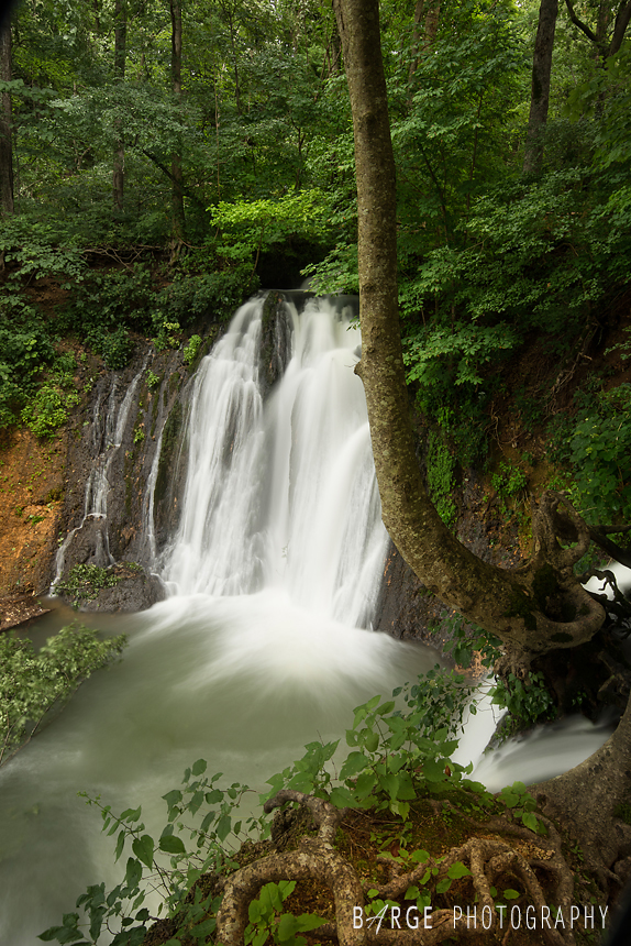
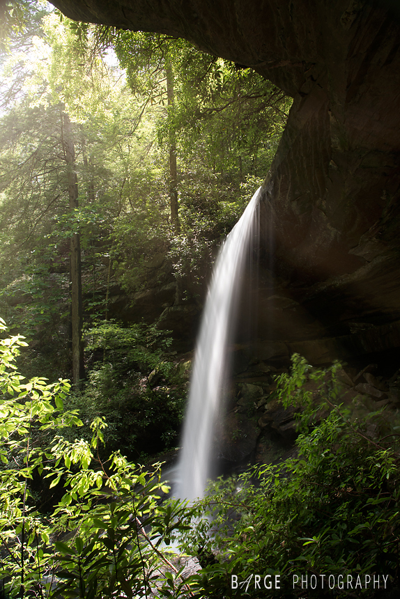
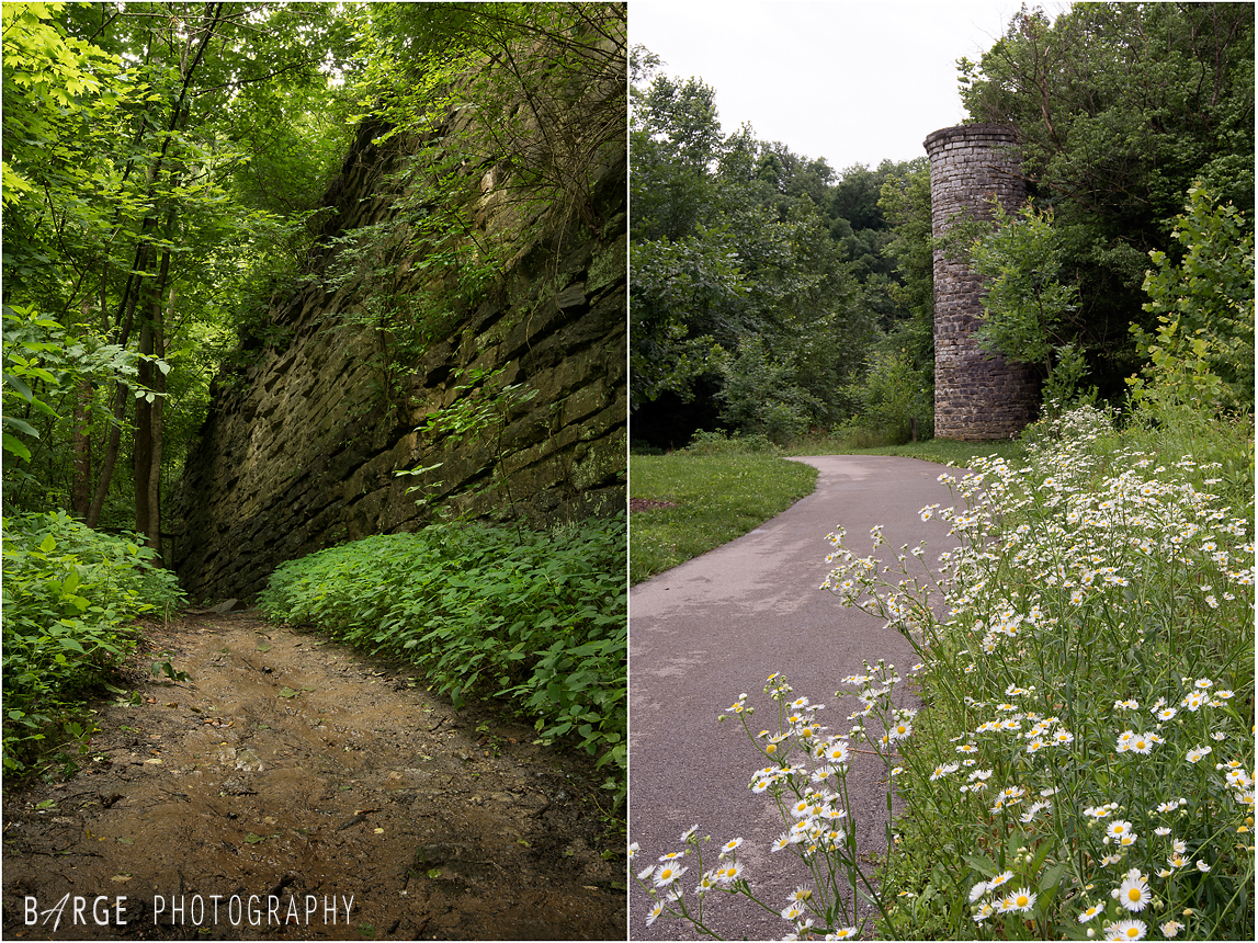
Van Hook Falls 40 ft. – Daniel Boone National Forest | Laurel County, KY – This is one of the most scenic hikes I’ve done in Kentucky. The hike to the falls is 5 miles round trip
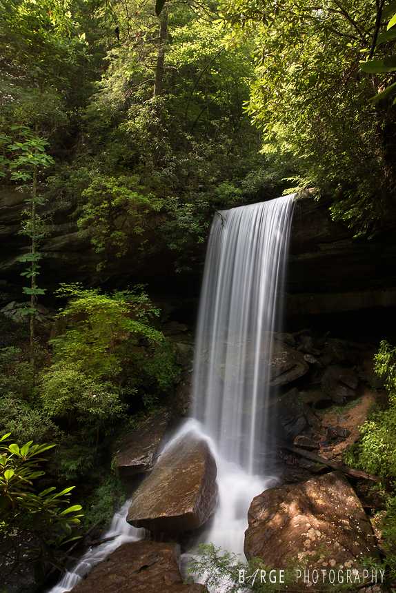
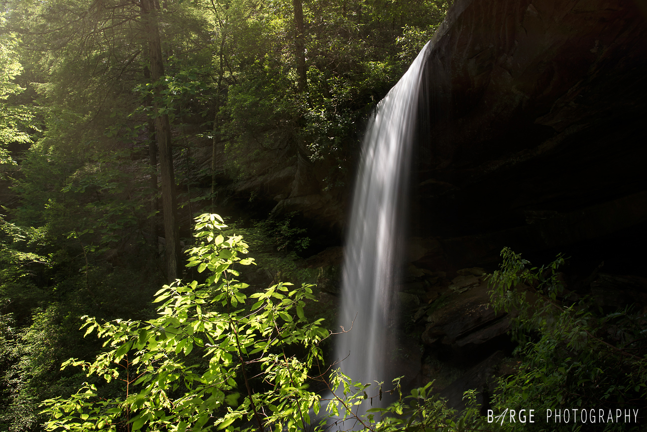
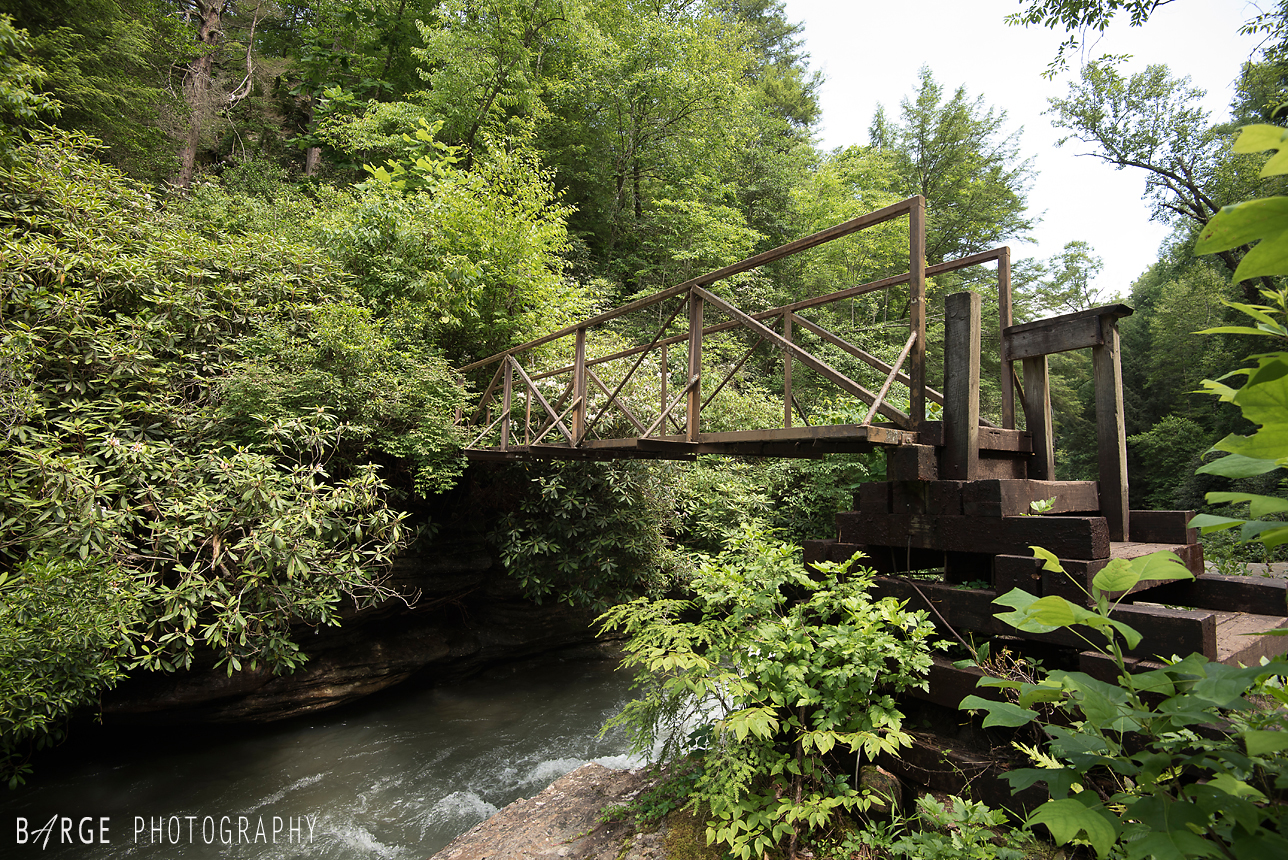
 One of two really cool bridges you pass on the way to Van Hook Falls
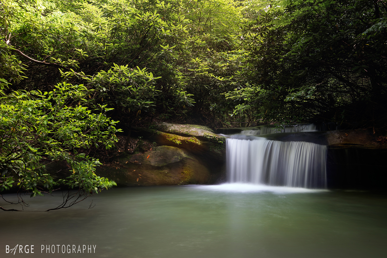
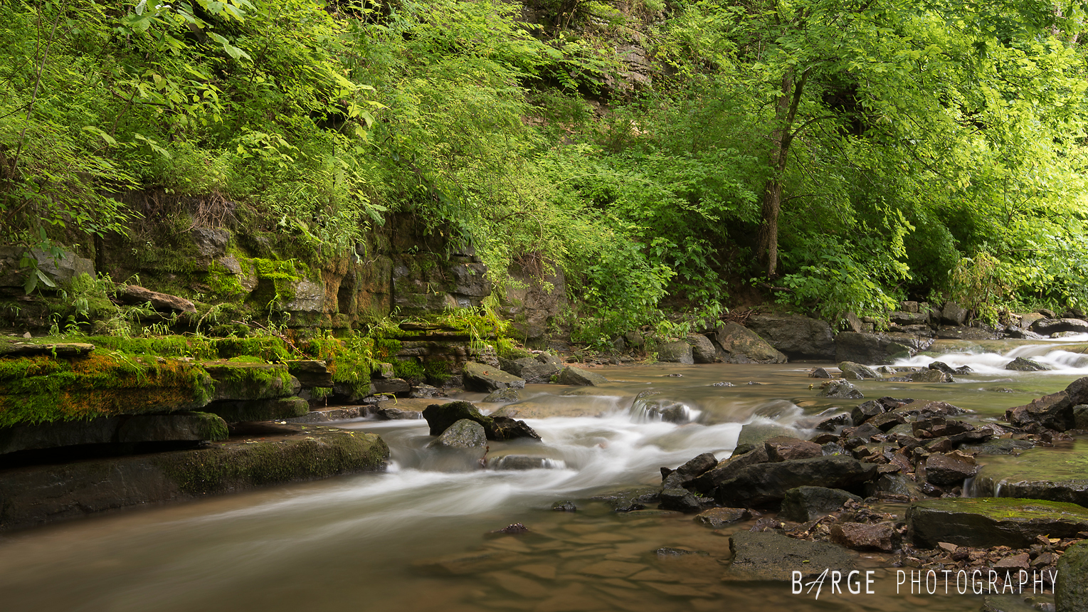
 You will also pass by Pounder Branch Falls
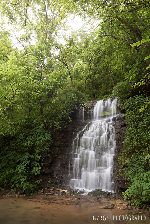
 Hurst Falls 30 ft. – Franklin County, KY – Cove Spring Park
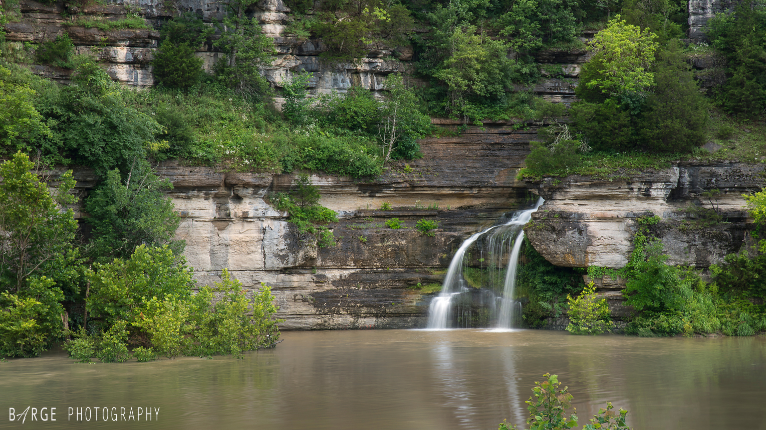
 Cummins Ferry Falls – Woodford, KY – Private land. Permission must be granted
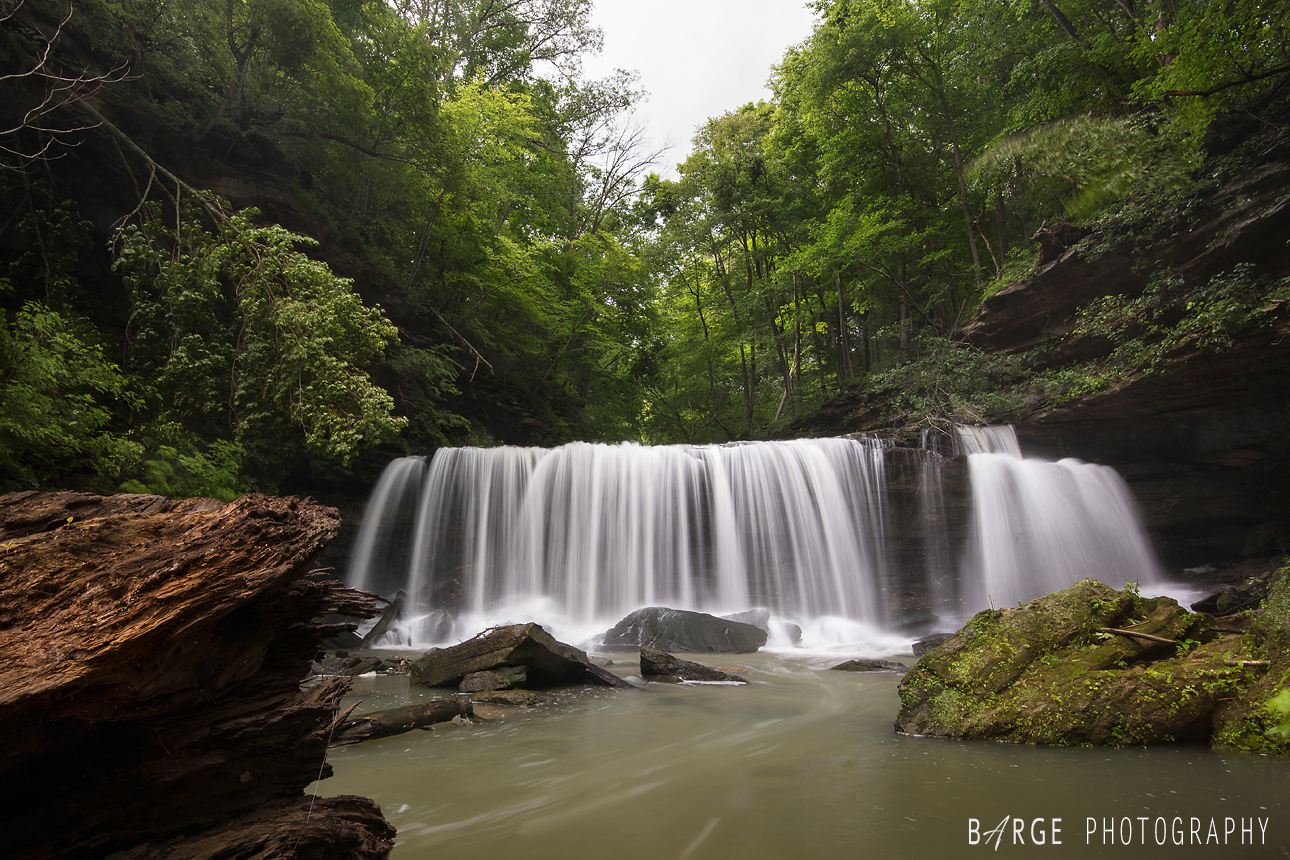
 Meadow Creek Falls 30ft. Monticello, KY – GSP coordinates: 36°56’05.0″N 84°46’33.8″W
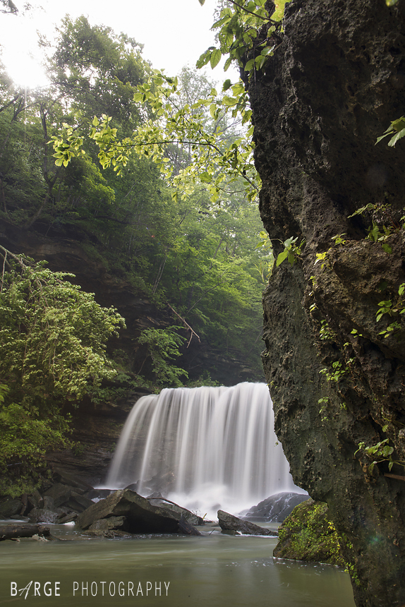
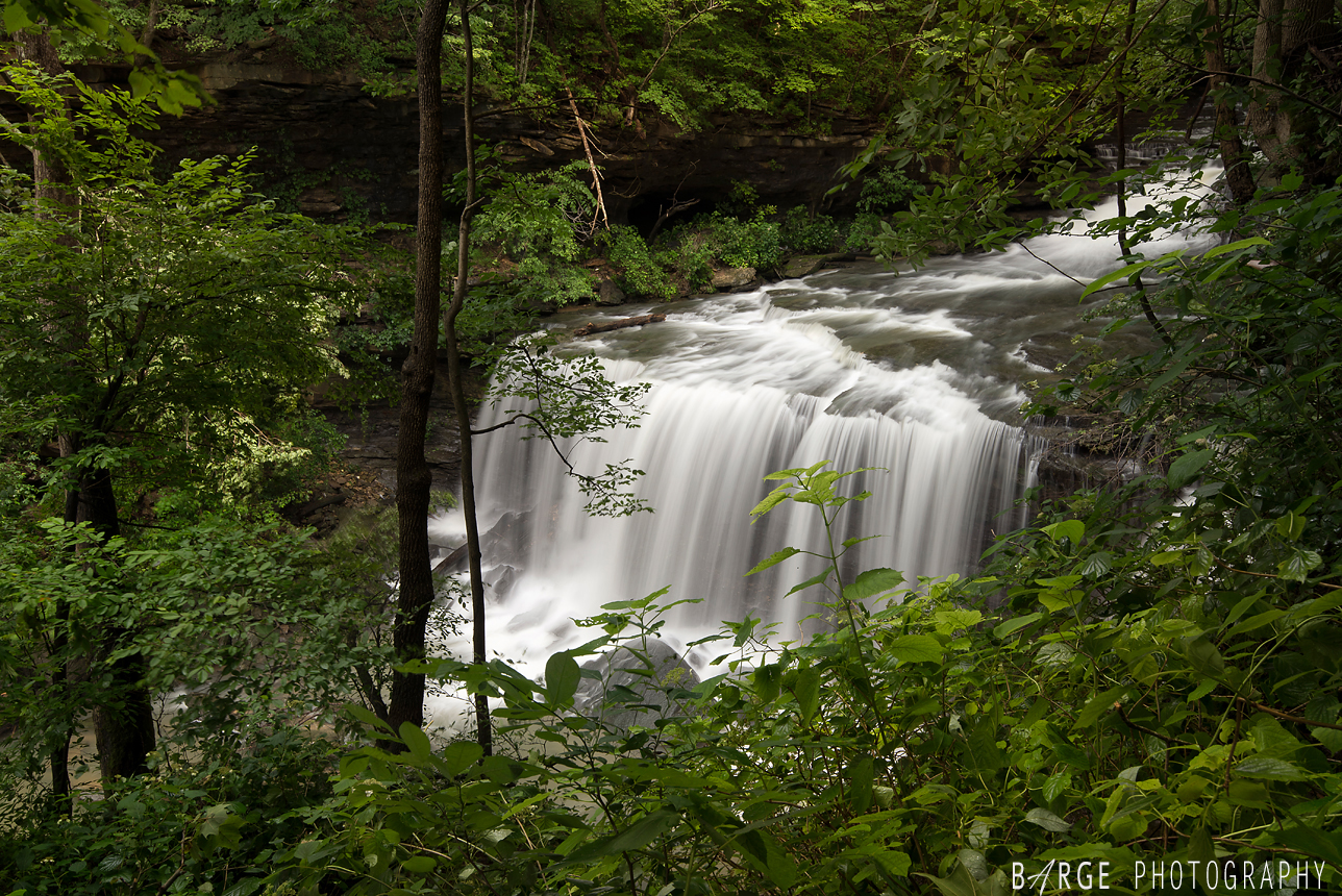 Atop Meadow Creek Falls
